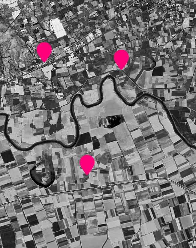
What is GIS?
What is the shortest path for the ambulance to the accident? Where should we install the new solar panels? Which lamp posts need maintenance and where are they?
GIS, or Geographical Information Systems is a collective name for software that is used for capturing, storing, processing, analyzing, outputting and visualizing spatial data. The information can be imperative to an organization or help you in your daily life. While some software is for general use i.e. comparable to a large toolbox alternatives have been developed more specifically towards the needs of certain industries.
Read more about the subject at USGS (United States Geological Survey).
